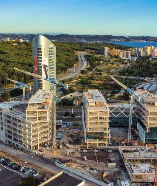
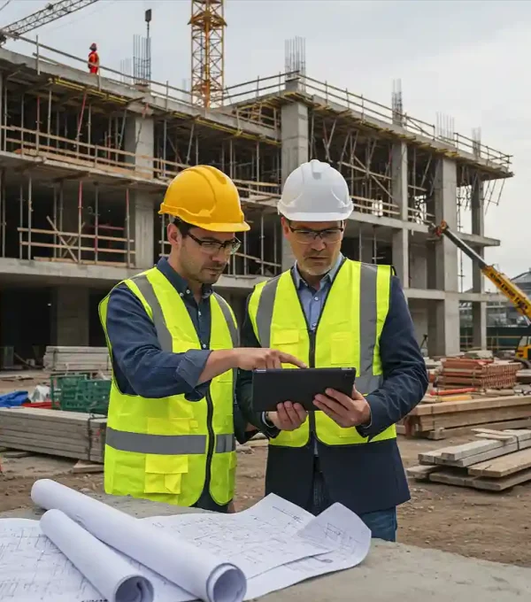
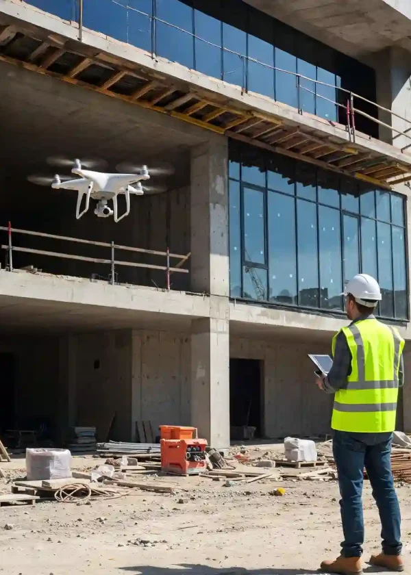
We are experts in the application of drone civil construction in Portugal. Our focus is on capturing high resolution 4K aerial images, providing accurate visual documentation of your project.
We offer key services such as periodic visual monitoring of works and visual aerial mapping, essential for effective planning and monitoring of progress.
These detailed records, obtained even in hard-to-reach places, are crucial to optimize project management, improve communication between teams and make informed decisions.

Follow the progress of your work with frequent and detailed aerial records (4K photos/videos), identifying advances and potential constraints in the progress of the work.
Share clear visual data (visual air mapping, videos) with teams, customers and stakeholders, improving collaboration, control and planning of the construction project.
Reduce the need for personnel to access potentially hazardous areas on the job for routine visual inspections or progress checking. The drone performs the task with complete security

Our drone service Portugal Civil Construction is the ideal solution for several companies and professionals in Portugal who seek to optimize the management, documentation and monitoring of their projects, including:
If your work involves the life cycle of a construction site, from planning to execution, drone technology can be an asset. Request a Free Quote Now!
Understand your objectives, the characteristics of the work and the delivery requirements. Check regulatory compliance ANAC/EASA.
Define the most efficient flight routes for the necessary coverage (visual air mapping or key points for work monitoring), flight frequency and capture parameters.
Certified pilots carry out flights at the site of the work, capturing aerial photography and high-resolution videos safely and minimizing any interference.
We process the collected images to create the agreed visual products: photo galleries, work progress videos, visual orthophotos (for viewing and planning purposes).
We provide processed visual data (photos, videos, maps) and follow-up reports (if applicable) through digital media for easy access and sharing.
The value of the drone civil construction service is adapted to each project. To define the budget, we consider factors such as:

We provide high-resolution aerial photographs, 4K videos showing progress and constructive details, panoramic yard views, and visual aerial mapping (orthophotos) for planning and monitoring.
The ideal frequency (weekly, fortnightly, monthly or other) depends on the dynamics of your project and your monitoring objectives. We can advise you the best option for you.
Yes, we offer both the delivery of raw 4K videos and the option of professionally edited videos (eg timelapses, progress videos with subtitles) according to your needs.
Yes, we provide services throughout the territory of mainland Portugal, including Lisbon, Porto and other regions.